


Site Detail - Boulder Ridge
The site we call "Boulder Ridge" is located just east of the Long Trail above a "slot." We didn't find any obvious locations for a lodge (assumed to be 20x20 feet). A leanto, about 10x10 feet, is feasible. The site is large enough to handle several tent platforms as well as a leanto. The main site is about 800 feet long and 250 feet wide. The site is wooded with mixed hardwoods.
A possible site plan: Southbound hikers pass through Eric's Slot, climb a few steps through softwoods and encounter the spur trail just before a 4-foot rock outcropping. Northbound hikers have kept the outcropping to their right as they emerge from softwoods and see the spur. The spur trail climbs slightly as it heads southeast. On the right is a privy. Continuing on the spur trail is a leanto on the left. The spur trail continues east at a slight downhill grade and passes tent platforms. The trail continues down a break in an outcropping on the left (some steps required) and descends to the brook at Big Boulder.
| Distance from road | 2.1 miles and 1600-foot climb via the Bamforth Ridge section of the Long Trail. |
| Distance from trail | 400-600 feet |
| Distance from water supply | 400-600 feet. A small brook is 500 feet beyond the site. Its flow is uncertain. Access would be from the tent platform area, not the Long Trail. |
| Ownership | State of Vermont - Camels Hump State Forest (Washington County) |
| Distance from LT shelters | Southbound: 5.6 miles to Montclair Glen. Northbound: ?.? miles to Duck Brook; about 5 miles to a future shelter on Woodward Mountain either via Bamforth Ridge, Winsooski South Relocations * and *. About a half-mile further if Route G is used, since the shelter would be reached using the existing Bamforth Ridge Trail as a spur. |
| Aesthetic character: view, privacy, beauty | No access for ATVs or skis. "Bannister Ridge" prevents access from the north. There is a steep drop-off to the west. The east has a sharp drop about 0.3 miles from the site. Although the site is a quarter-mile from beaver ponds and ledges with remarkable views, these sites are uphill and not visible. No noise from interstate or railway, as the site faces east. The site is protected from westerly winds. No view, although a hint of one in winter. Interesting cliffs on on either side of the brook. |
| Potential impacts of use | The area is not listed as a wetland, deer yard, or home for endangered species. There is some fallen rock further down the brook, which might appeal to bobcats. Numerous cliffs exist downhill, at the 1700-foot countour, which might provide an equal habitat. |
| New trails | About 500 feet through birch forest. The route is essentially flat and looks like it would be dry in summer. |
| Assets |
|
| Flaws | |
| Questions |
| The Long Trail 2.1 miles from River Road | ||
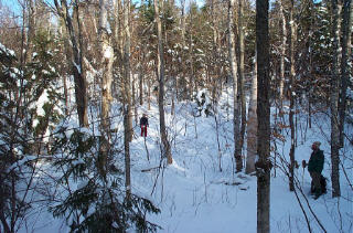
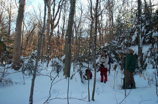
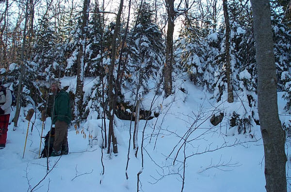
| We left the Long Trail and "Eric's Slot" and headed east down the slot. Dave is standing at the bend in the LT. "Boulder Ridge" is above the small scarp on the right. | Click for detailed image (99kB) |
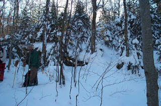
| Looking into the slot from the stone steps. | Click for detailed image (91kB) |
| The LT takes a bend to avoid the wet area. It enters the slot to left of John, bends at Dave, and continues into softwoods, where Duncan took this picture. Note the long shadows: these photographs were taken about 11:00 am. | Click for detailed image (95kB) |
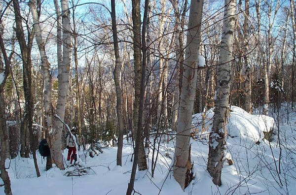
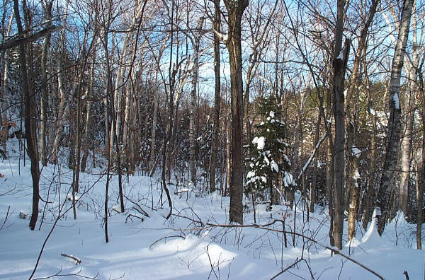
| Boulder Ridge Leanto Location | ||
| Looking north from the leanto site. The facing hillside has 25-foot cliffs. | Click for detailed image (97kB) |
| Looking east from the leanto site. In the middle is a 4-foot high boulder, covered in snow. | Click for detailed image (99kB) |
| Looking west back towards Eric's Slot on the Long Trail. | Click for detailed image (99kB) |
| Looking northeast, towards the Worcester Range. | Click for detailed image (98kB) |
| Looking east-southeast from the leanto site. | Click for detailed image (87kB) |
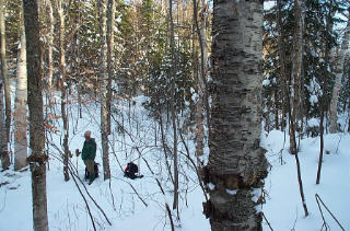
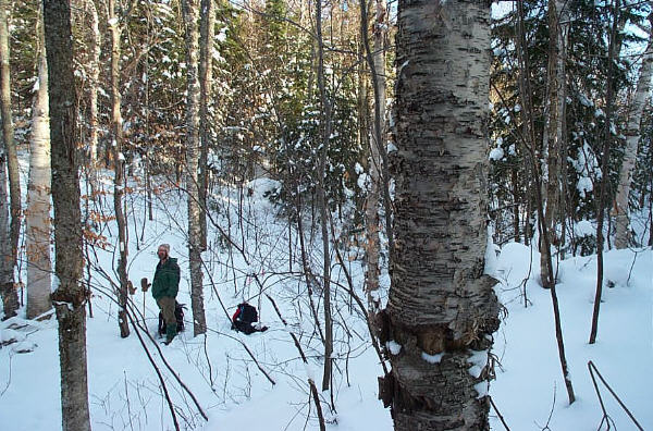
| Leanto site from the east, looking towards Eric's Slot. | Click for detailed image (98kB) |
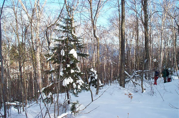
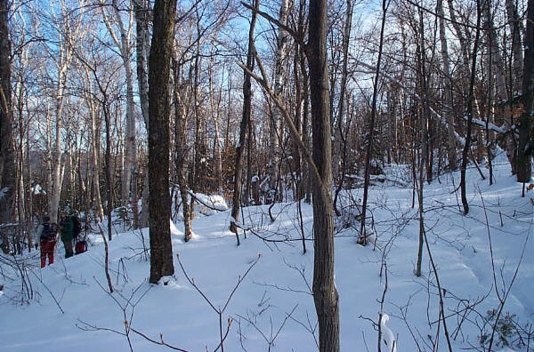
| Spur trail junction with the Long Trail | ||
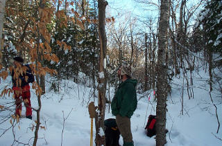
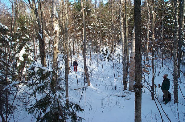
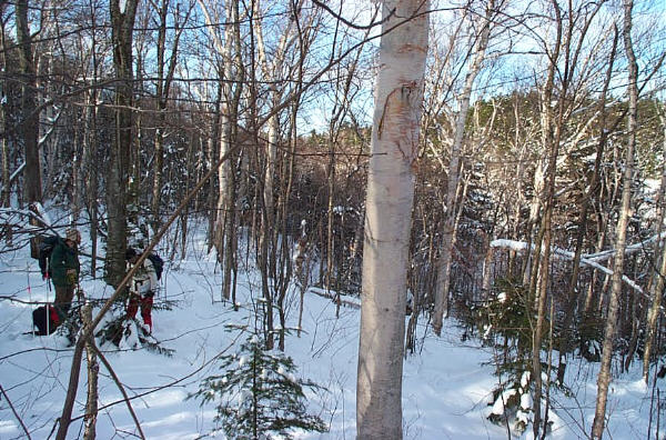
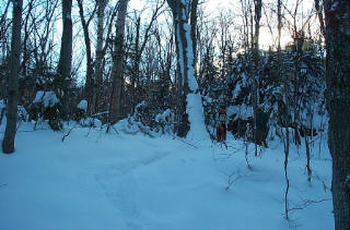
| The spur trail would head slight uphill in the middle of the photograph. The red flag (left of center) marks the spur trail. The lime flag (center) is one of a series of bootleg flags along the Bamforth Ridge. | Click for detailed image (90kB) |
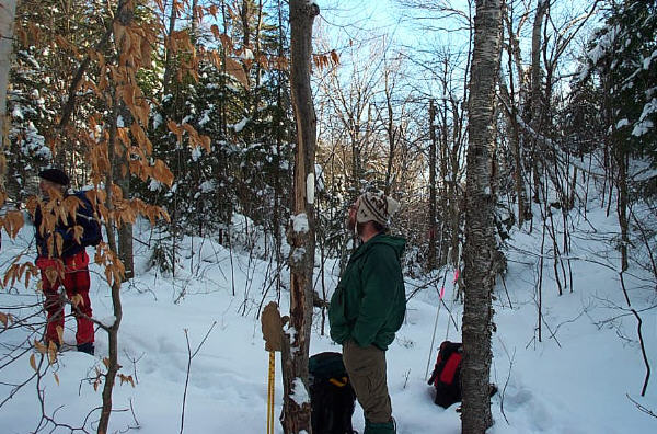
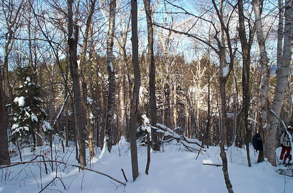
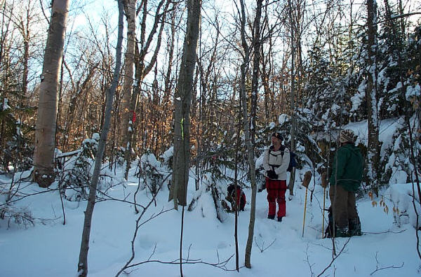
| The Long Trail southbound is at the right. The 4-foot outcropping on the right serves as a landmark and an obstruction to shortcutting by northbound hikers. The Long Trail continues to the right of the photograph. | Click for detailed image (87kB) |
| Junction. View immediately to the left of the previous photograph. | Click for detailed image (73kB) |