Site Detail - G-4240
The site is a bowl about 100 yards across. Large cliffs arise on the north.
This site was not considered viable because of the difficult side trail, the distance from the Long Trail, and the likely wetness of the location.
| 4240 feet from the Long Trail on Route G | ||
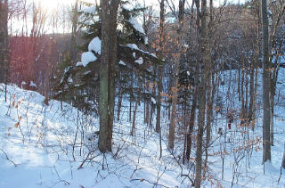
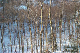
| Looking southerly into the bowl from the east rim. | Click for detailed image (91kB) |
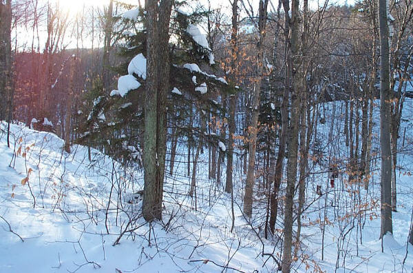
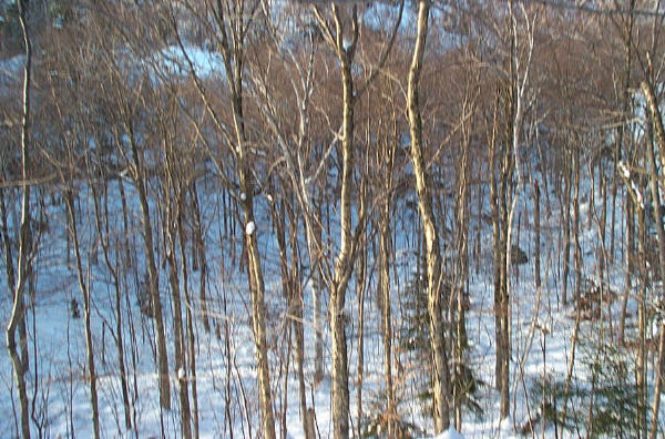
| Looking westerly into the bowl from the east rim. | Click for detailed image (103kB) |
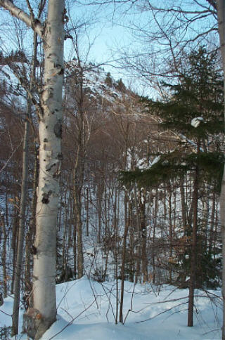
| Looking northeasterly from the east rim of the bowl towards the cliff. Route G descends in the gulley on the left. | Click for detailed image (95kB) |
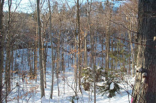
| The bowl. | Click for detailed image (87kB) |
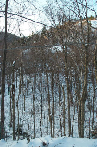
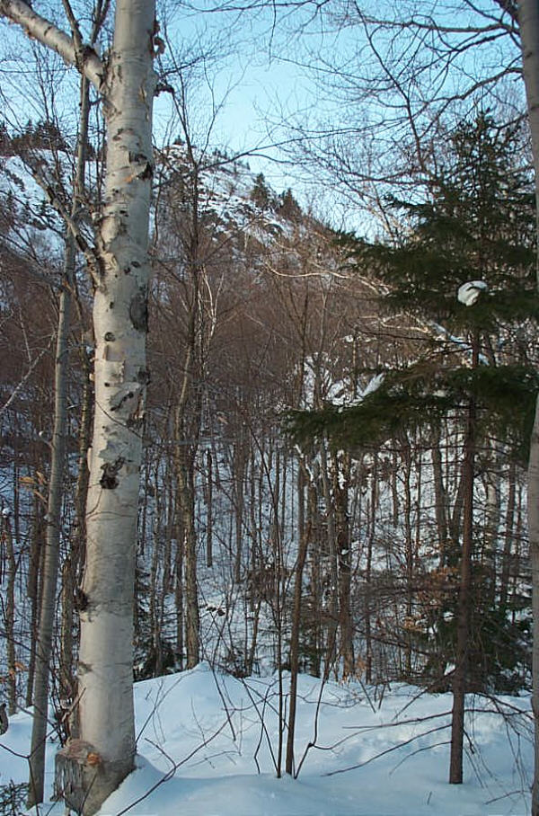
| Looking northerly to the steepest part of the cliff. Route G turns to the south at the top of the cliff. | Click for detailed image (164kB) |